Photographic Structure Inspection Project Profile

Project at a Glance
Service:
Right of Way, Mapping
Location:
Massachusetts
Completion Date:
Ongoing

Right of Way, Mapping
Massachusetts
Ongoing
Cornerstone Energy Services is supporting a major electric utility in Massachusetts with annual evaluations of more than six thousand electric transmission structures. Our evaluation includes review of images captured by a third-party drone and is a critical role in ensuring the integrity of our client’s electrical infrastructure.
Our client has a duty to ensure the integrity of their energy infrastructure. Often, these structures are located in difficult to access areas and require specialized equipment to facilitate a thorough inspection. Although Cornerstone did not provide drone services on this project, Cornerstone offers Unmanned Aerial System (UAS) services to the energy infrastructure marketplace.
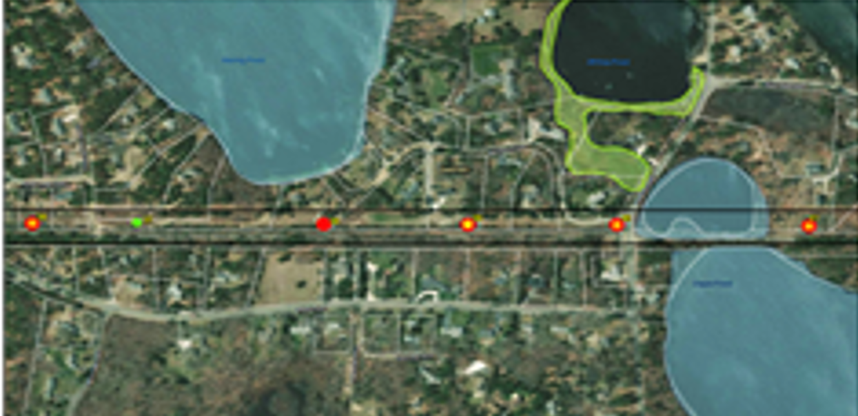
To support our client with their duty, Cornerstone catalogued all drone inspection imagery, reviewed the footage with respect to established rating criteria, and made recommendations for pole replacements while considering neighborhood impacts, wetlands, threatened and endangered species locations, and ease of access. Further, Cornerstone’s GIS team created map sets identifying electric corridors and structures according to their rating in order to support our client with planning of structure replacement work.